 0
0
-
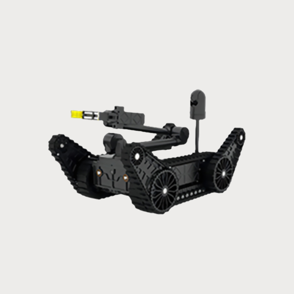
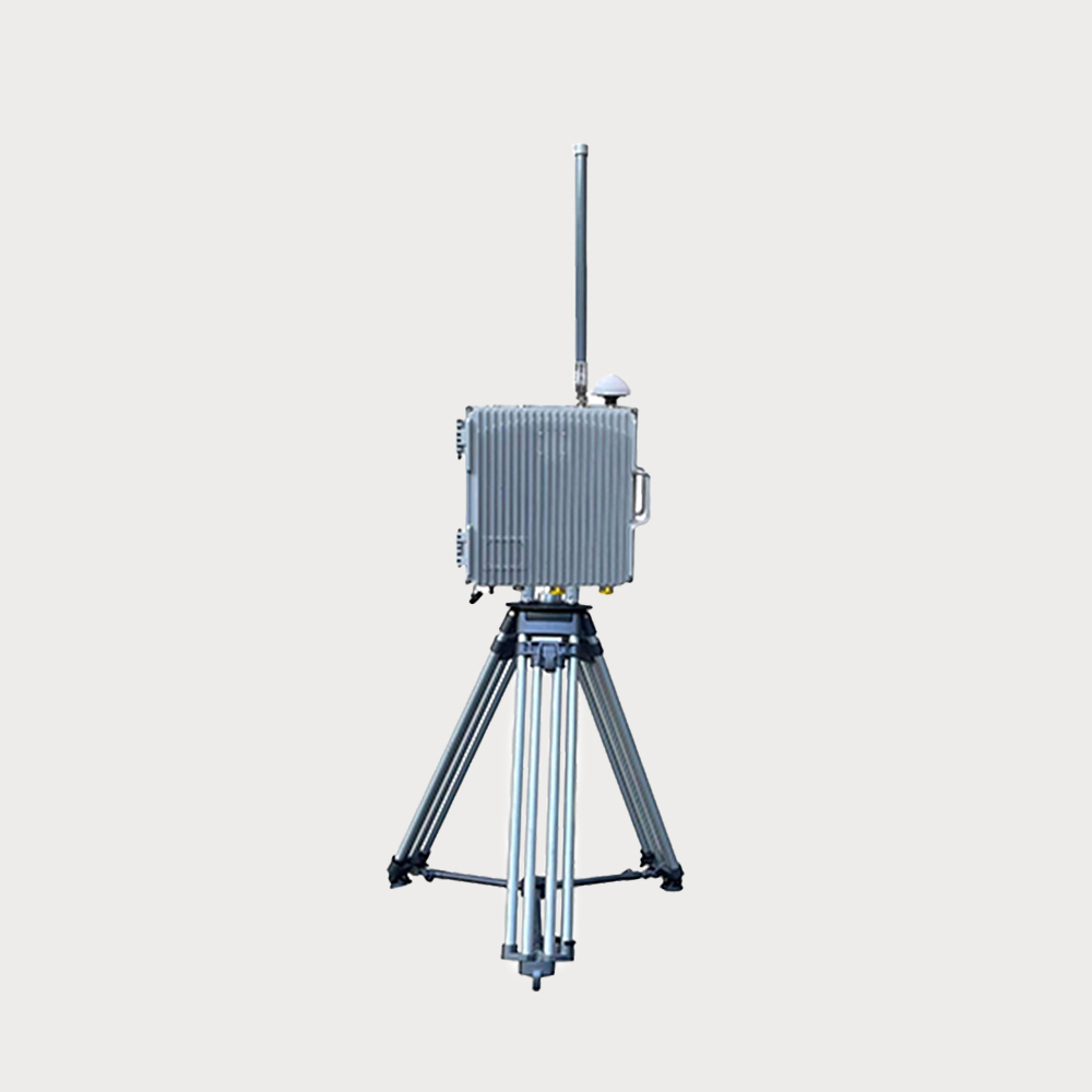
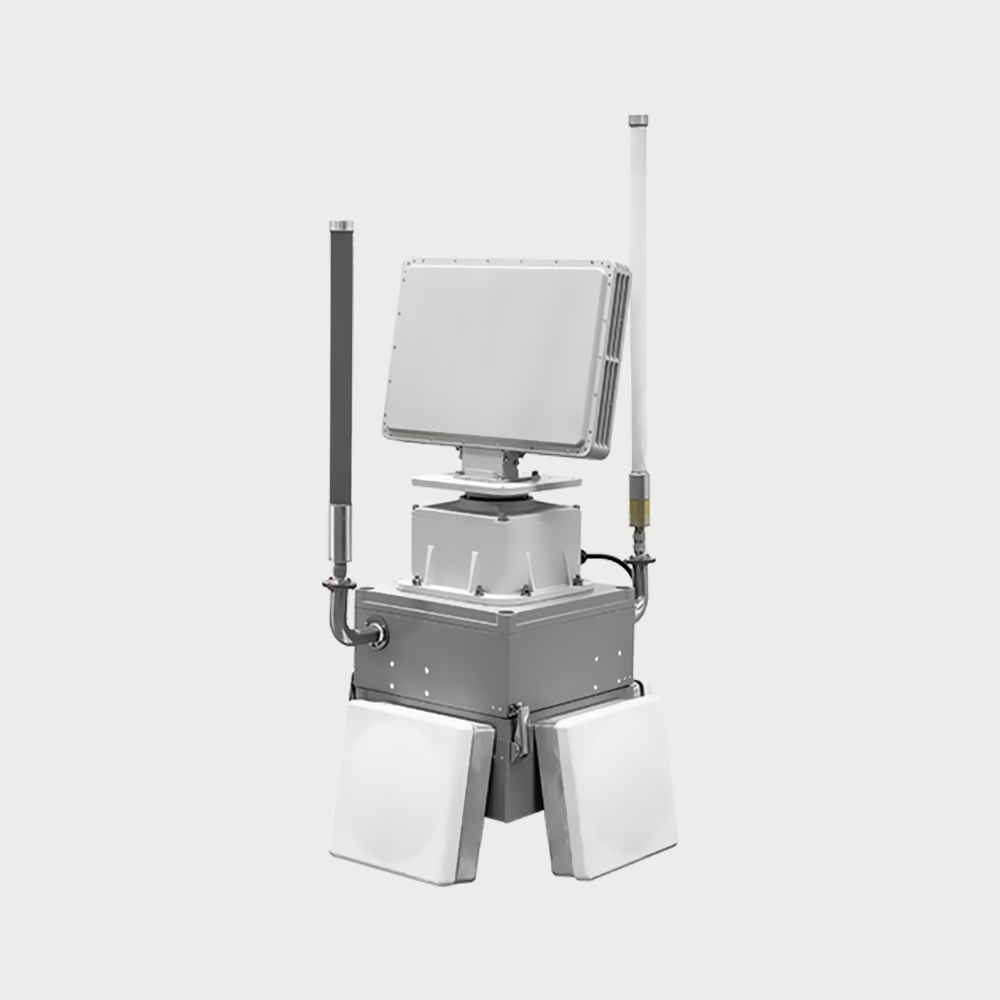
When the UAV enters the defense area, the suspicious link signal is monitored and identified JR1178 Owl Defense System
- Owl anti-UAV defense system uses radar + radio detection + omnidirectional electromagnetic interference + navigation decoy system architecture, through integrated structural design, to build a three-dimensional defense system. The radio spectrum monitoring system collects the surrounding radio signals in real time and scans them according to the configured frequency bands. When the UAV enters the defense area, the suspicious link signal is monitored and identified, and at the same time, it cooperates with the radar detection system to confirm, provides information such as the target working frequency band and distance, and the jamming system transmits electromagnetic suppression signals according to the plan to interfere with the UAV's image transmission and navigation signals; Or through the navigation deception system to transmit low-power regenerative navigation satellite signals (power not more than 10dBm), invade the UAV navigation system, set up a no-fly zone, deceive and confuse the UAV's navigation terminal, so that it cannot fly into the protected area, and ensure the low-altitude safety of the area.
- $ Inquiry
- 1000 in Stock NowJR-MD1178
-
Group
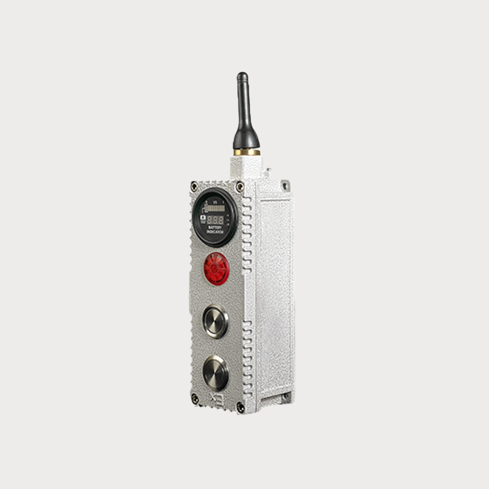
JR1178
-
QUANTITY
- Contact Online
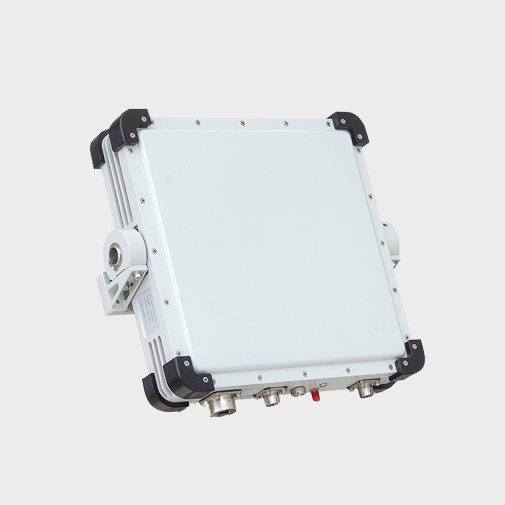
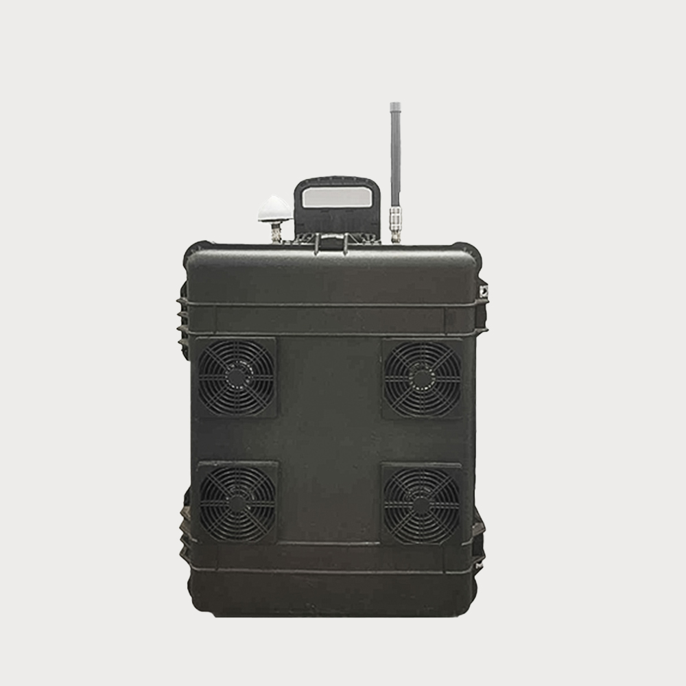
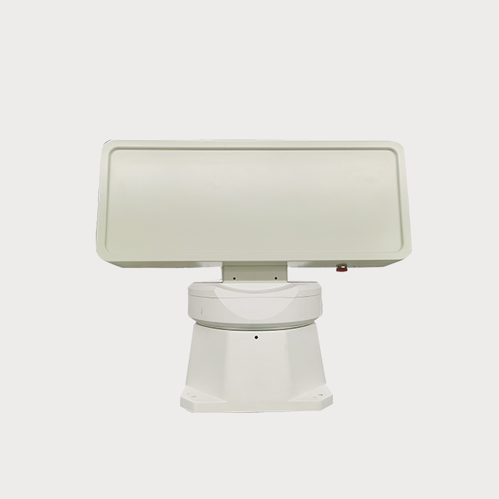
Product function: integrated product design, highly integrated, scientifically integrated radio spectrum detection, radar detection, navigation decoy, electromagnetic interference four types of anti-UAV systems to ensure the stability and reliability of counter-UAV effects.
Intervention distance: detection distance > 1500 meters, navigation decoy distance > 1000 meters, electromagnetic interference distance > 500 meters.
Scalability: The system supports stand-alone and networking work, and can be deployed to multiple locations after connecting multiple devices through network cables to expand the defense range.
Applicable scenario: The equipment is suitable for low-altitude protection in key places such as petroleum, electric power, chemical industry and other fields. That is, it can be deployed with a single device to complete the detection and protection of the defense area, or it can be used with multiple devices to form a comprehensive defense system.