
0
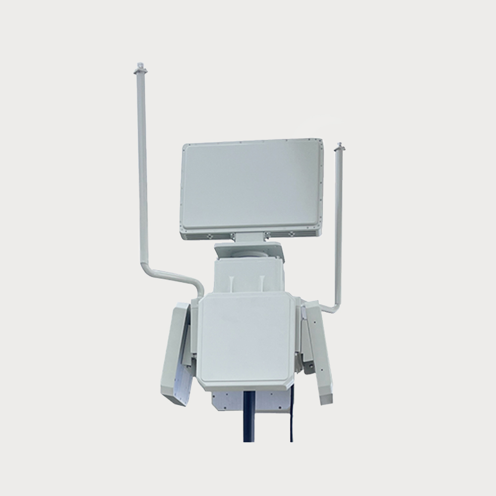
  • The system realizes low-altitude three-dimensional protection within the diameter of the defense area greater than 10,000 meters JR-HJR1183 UAV frame-side system
  • The system realizes low-altitude three-dimensional protection within the diameter of the defense area greater than 10,000 meters JR-HJR1183 UAV frame-side system
  • The system realizes low-altitude three-dimensional protection within the diameter of the defense area greater than 10,000 meters JR-HJR1183 UAV frame-side system
  • The system realizes low-altitude three-dimensional protection within the diameter of the defense area greater than 10,000 meters JR-HJR1183 UAV frame-side system
  • The system realizes low-altitude three-dimensional protection within the diameter of the defense area greater than 10,000 meters JR-HJR1183 UAV frame-side system

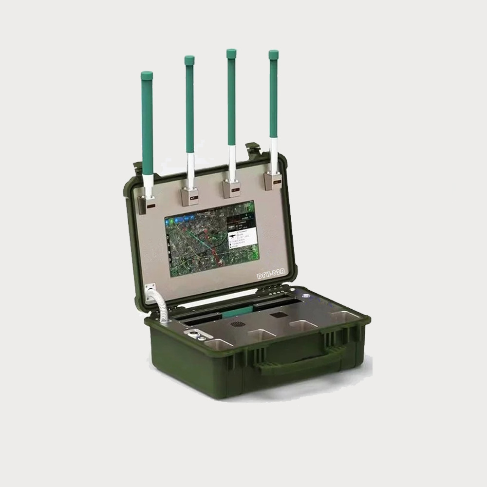
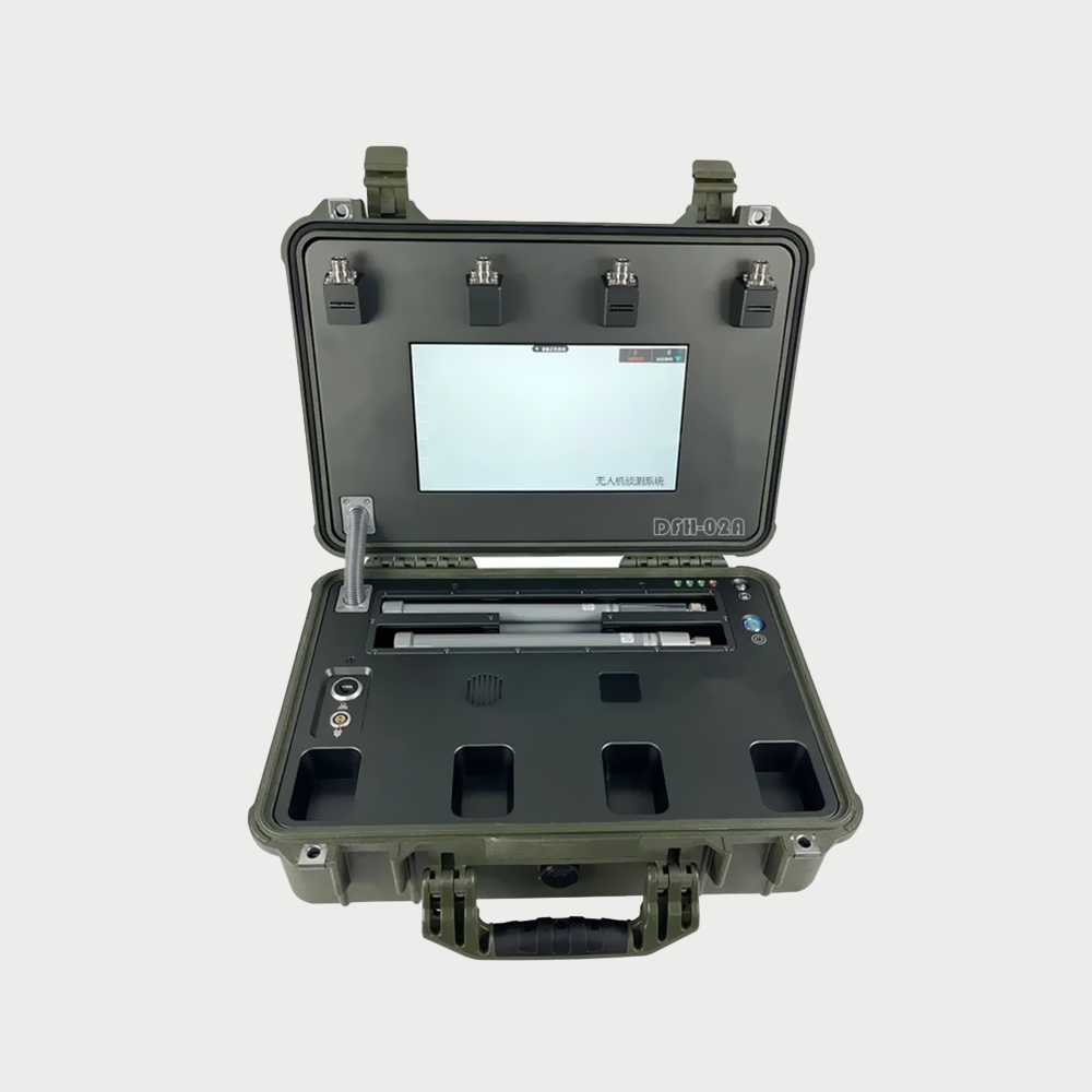
  • The portable drone detection system can effectively detect all drones within 10 kilometers, and accurately locate the location and model of the drone.
  • $ 23600
  • 0 in Stock NowJR-HJR1183
  • Group

    JR1183 10km

  • QUANTITY

  • Contact Online

This equipment is a special system for drone detection that has been tested and certified by the quality inspection center of the relevant department, and the system is used for drone detection, identification and jamming. The system integrates a variety of technologies such as cooperative spectrum perception and deep neural network, and the system realizes effective detection, identification and azimuth tracking of low-altitude UAVs in the defense area through radio detection technology, the use of received UAV characteristic signals, big data processing, artificial intelligence and machine learning, etc., and realizes the effective control of black-flying UAVs. The system realizes low-altitude three-dimensional protection within the diameter of the defense area greater than 10,000 meters, and has been widely used in important organs, aviation airports, control restricted areas, major activities and other fields.
You May Be Intersted
The system is easy to operate, has a wide range of defense, and can be networked and controlled, and can be operated continuously. multispectral imaging ranging photoelectric

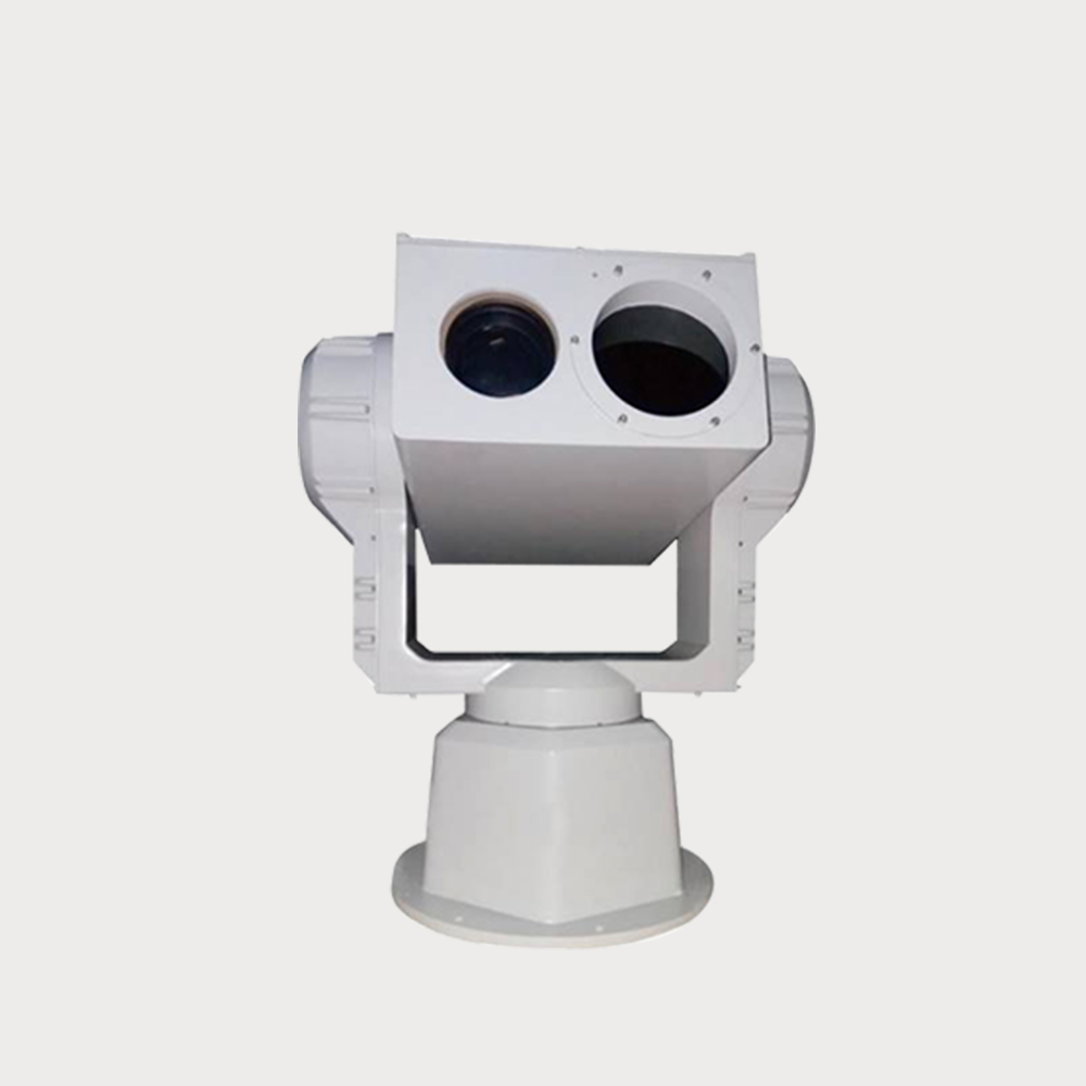
Round-the-clock, full-screen, all-time automatic fast locking and precise tracking with a multispectral camera system

Multispectral imaging ranging photoelectric, tracking, prevention and control integrated system, integrated uncooled long-distance passive infrared thermal imaging detector, telephoto visible light fog-transparent high-definition network camera, intelligent identification module, servo heavy-duty PTZ, Beidou positioning in one, to achieve multi-spectrum, multi-channel day and night complementary imaging, in low illumination, bad weather, night 24 hours day and night monitoring. Through the integrated prevention and control platform, it can remotely carry out automatic or manual rapid and effective disposal of suspicious targets, which is easy to operate, has a wide range of defense, and can be networked for control and continuous operation.

Inquiry
The purpose of the construction of the OWL UAV defense system is to achieve efficient and precise strikes against UAVs and ensure the safety protection of specific areas or key facilities

24/7 wide area monitoring

According to the prison's demand for resistance to low altitude drone invasion/suspected ground moving target invasion and destruction/behavior management of prisoners inside the prison area, a prison three-dimensional defense system is built through an integrated structural design using radar+passive detection+omnidirectional interference equipment+drone deception equipment architecture.

Inquiry
Easy to Install Green Safety Partition Control Integrated Design

so that the UAV navigation system receives a simulated navigation signal with false location information, so that the UAV entering the control area is "lost" and cannot fly according to the predetermined trajectory

The decoy active defense system transmits simulated satellite navigation signals through simulation, competes with on-orbit satellite signals, and uses the power advantage to enable the drone navigation system to receive simulated navigation signals with false location information, so that the drone entering the control area "Lost", and unable to fly according to the predetermined track. It can make the drone drive away, make a forced landing, or fail to take off.

Inquiry
Cut off the connection between the drone and the remote pilot at a distance, forcing the drone to land, hover, or return.

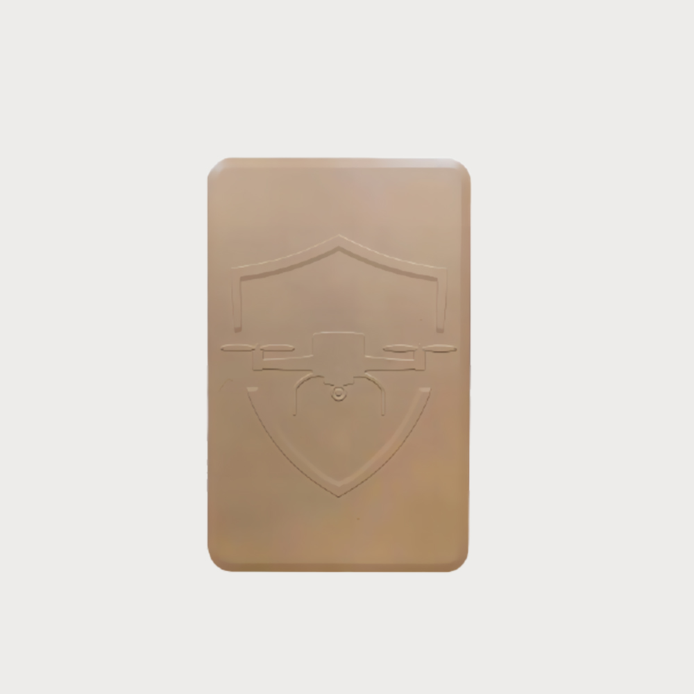
The device has a shield-like design for rapid deployment

The portable drone countermeasure device is a shield-type design, which is easier to carry, convenient for rapid deployment, can be operated by a single person, and the device has a built-in large-capacity battery, which can last for 45 minutes. The single channel has high power and has a range of more than 2.5 km. It can effectively control the low-altitude multi-rotor UAV on the market, once the equipment starts to strike, the remote control of the UAV can fail, the captured images and videos cannot be transmitted, the GNSS navigation system loses signal, and the connection between the UAV and the remote control is completely cut off, so as to effectively prevent the UAV from entering the defense area and ensure the safety of low-altitude airspace.

Inquiry
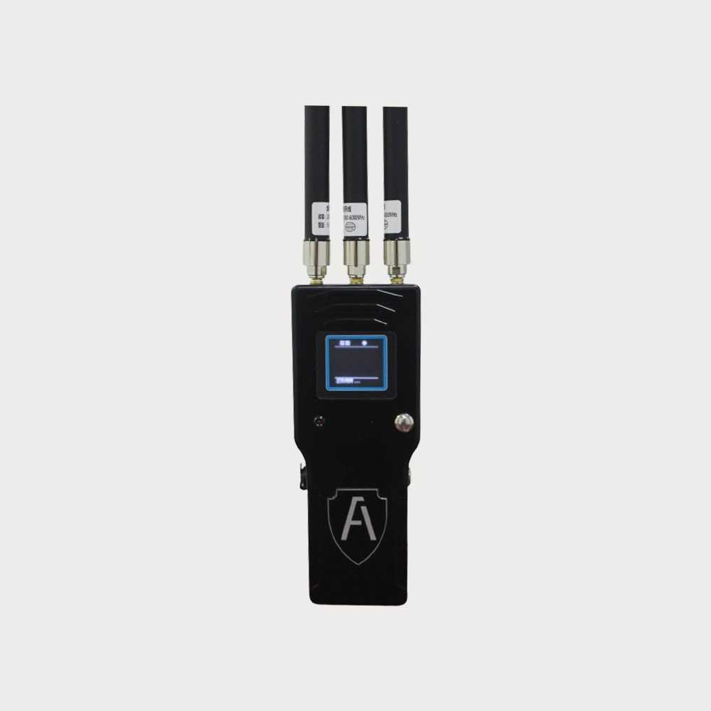
Based on spectrum perception and artificial intelligence technology, the remote control and video transmission of UAVs were identified and classified Drone detectors

For UAV detection, identification and direction finding Drone detectors

For UAV detection, identification and direction finding. Based on spectrum perception and artificial intelligence technology, the remote control and video transmission of UAVs were identified and classified. Equipment features include: UAV direction finding; types of drones; Long detection distance, low false alarm rate, screen display; Small size, light weight, handheld or working with interference counting guns, suitable for patrol monitoring of office buildings, industrial parks, borders and coastal defense sites. It can effectively prevent the interference of UAVs in various control areas, thereby reducing the distress caused by UAV intrusion.

$1450
Professional Support High Sensitivity Strong Penetrating Ability Multidimensional Positioning

By detecting faint human vital signs, such as heartbeat and breathing, it can capture the number of survivors trapped in obstacles, 2D and 3D coordinate information, such as rubble and collapsed buildings, to aid in accurate rescue.

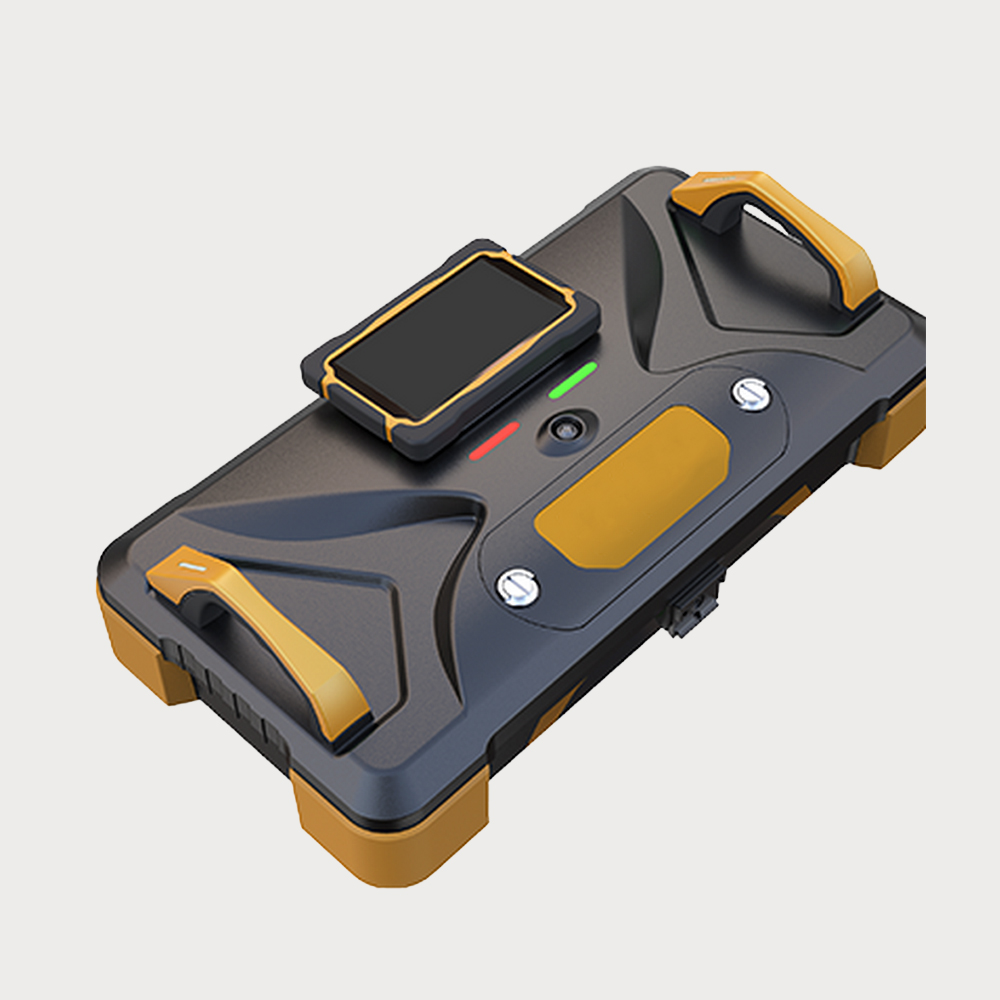
Radar life detector 34 is a two-dimensional positioning life detection equipment. By detecting weak human vital signs such as heartbeat and breathing, it can obtain the number, 2D & 3D coordinate information of survivors trapped in obstacles such as ruins and collapsed buildings to assist accurate rescue.

$69600
Good Scalability All-day, All-round Low False Alarm Rate  High Product Design Maturity

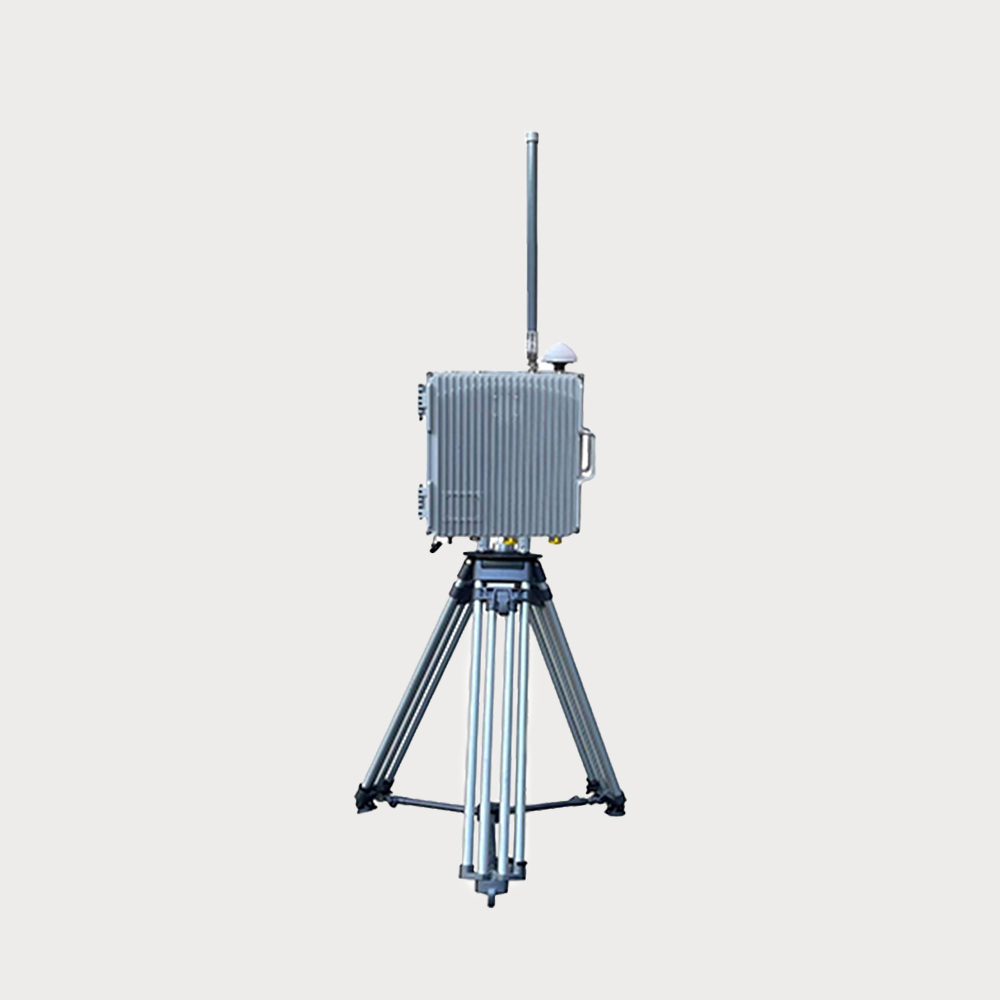
The device realizes the detection and early warning of the UAV (remote control) by detecting, identifying and locating the upper and lower remote control signals and data image transmission signals of the UAV

The RF Scanner is mainly composed of an array antenna, a radio frequency circuit, a multi-channel synchronous receiver, and a GNSS positioning module, etc., to realize the detection and discovery of drone in a specific frequency range. The equipment realizes the detection and early warning of the drone (remote control) by detecting, identifying and positioning the up and down remote control signals and data image transmission signals of thedrone aircraft. The device is a passive detection device, does not actively emit electromagnetic signals, green and safe.

$3400
The drone navigation deception system invades the "black flying" drone navigation system by radiating low-power regenerative navigation satellite signals

Effective for most brands of drones, capable of achieving 360 ° all-round defense

The drone navigation deception system invades the "black flying" drone navigation system by radiating low-power regenerative navigation satellite signals, thereby achieving interception and control of drones that need to use navigation systems for flight control, preventing them from flying into protected areas and ensuring low altitude safety in the area.

Inquiry
Shop by Categories